
Stradview can be used to measure point locations, distances and angles in data sets, as well as areas and volumes of surfaces. These measurements are based on three different processes: the use of the measure tool, of landmarks, and surface-based measurements.
Provided that the loaded data has the pixel sizes defined, distances within an image can be measured using the measure tool. If the data set is 3D, this will also work in all the other visualisation windows.
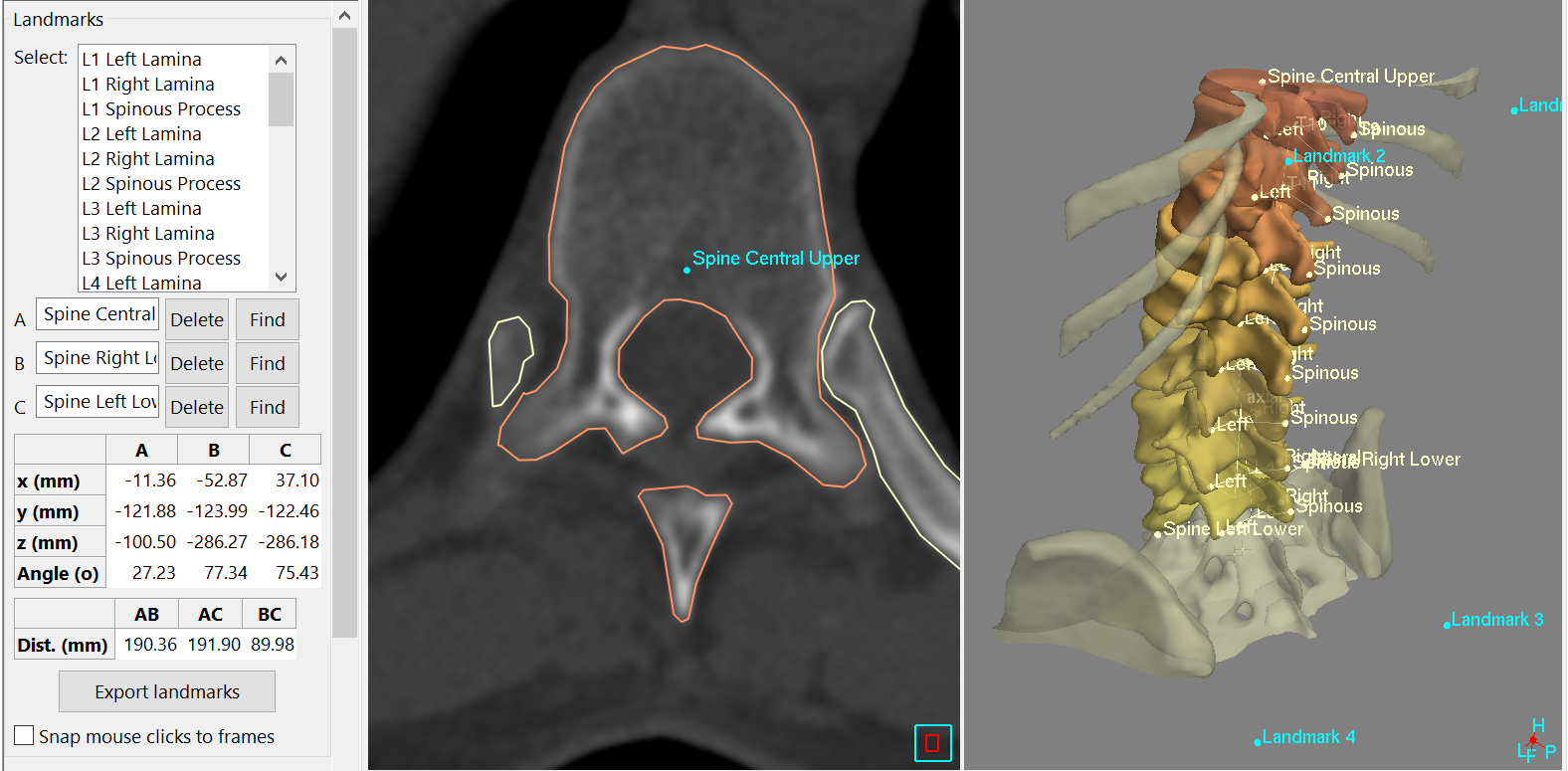
More complex measurements are possible by placing landmarks in any of these images, using the landmark tool. You can create any number of these landmarks, they can be named appropriately, and any three can be selected to determine location, distances, and subtended angles. Landmarks can be visible in all windows, and you can find them using the 'find' button in the 'landmarks' task. The data from all these landmarks is saved in the Stradview file. It can also be exported to a '.txt' or '.csv' (comma-separated) file, which can then easily be loaded into a spreadsheet for external processing.
Outlines can also be used to measure length and area: once drawn, the perimeter and area (of the current object in the current image) are shown in the draw task. If the data is 3D and you have drawn multiple outlines in several images, then the volume of this set of outlines is also shown here: this is a good estimate of volume calculated directly from a sparse set of contours using the cubic-planimetry technique.
If a surface has also been created from these outlines, then landmarks can be placed directly on this surface in the 3D window, and measurements made from these in the same way as with landmarks placed in images. The measure tool can also be used on a 3D surface. Clicking with this tool on a surface will show (on the middle status bar at the bottom of the Stradview window) various information about the underlying triangle and vertex in this surface mesh.
The surface and outline-based measurements can also be exported to a '.txt' or '.csv' (comma-separated) file, using the 'save' button on the draw task, then selecting one of the 'info files' before saving. This saves the measurements for the whole surface (volume and centre) as well as measurements for each outline it was derived from (area, perimeter and centre). This file also contains the minimum, maximum and average data values which are contained by the whole surface and by each outline.